Hurricane Erin Intensifies: Tropical Storm Warning Issued for Eastern US
Hurricane Erin Intensifies: Tropical Storm Warning Issued for Eastern US
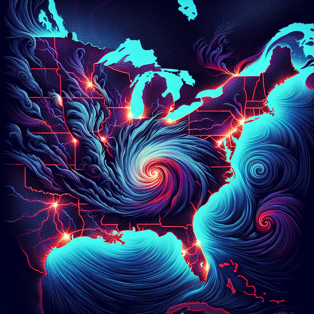
As the Atlantic hurricane season continues to unfold, Hurricane Erin has captured the attention of meteorologists and residents alike. What began as a tropical storm has rapidly intensified into a hurricane, prompting officials to issue tropical storm warnings across various regions in the eastern United States.
The Current Situation
Hurricane Erin was upgraded from a tropical storm earlier this week after it displayed significant strengthening over warm ocean waters. As of the latest reports, Erin is located approximately 300 miles off the coast of Florida and is moving northward at a steady pace. Wind speeds have reached up to 85 mph, making it a Category 1 hurricane on the Saffir-Simpson scale.
The National Hurricane Center (NHC) has been closely monitoring its trajectory and intensity. Forecasters predict that if current conditions persist, Hurricane Erin could strengthen further before making landfall along the eastern seaboard.
Tropical Storm Warnings Issued
In response to Hurricane Erin’s intensification, tropical storm warnings have been issued for several states along the East Coast. Areas including Florida’s northeastern coastline through Georgia and into South Carolina are under alert as heavy rains, strong winds, and coastal flooding are expected within days.
Residents in these areas are urged to prepare for potential power outages and hazardous travel conditions. Local authorities recommend stocking up on essential supplies such as food, water, batteries, and medications ahead of any severe weather impacts.
Potential Impacts
Meteorologists warn that even though Hurricane Erin may not make direct landfall as a major hurricane in some regions, its outer bands will still pose threats with gusty winds and rain extending well inland. Coastal communities can expect high surf conditions leading to dangerous rip currents.
Flooding remains one of the most concerning aspects associated with hurricanes like Erin; excessive rainfall can lead to flash floods especially in low-lying areas already saturated from previous storms this season.
What Residents Should Do
Officials advise residents living in affected zones to stay updated by following local news outlets or official channels such as FEMA or NOAA updates regarding evacuation orders or safety measures necessary during inclement weather events.
Preparedness should include creating an emergency kit containing vital items like non-perishable foods, first aid supplies, water purification tablets, flashlights with extra batteries—anything needed should power go out due to downed lines or other disruptions caused by high winds associated with storms like Hurricane Erin.
Additionally:
– Secure outdoor furniture that could become projectiles.
– Ensure all windows are reinforced where possible.
– Have an evacuation plan ready if instructed by local officials; know your routes!
As we continue monitoring this evolving situation surrounding Hurricane Erin’s path across our region—let us remain vigilant while also prioritizing safety above all else!


Publicar comentário